General Information
Hours
Monday-Friday 8:00 am- 5:00 pm
Interactive GIS Mapping
The GIS Department has dedicated their time to bring you an interactive tool of which you will be able to zoom in close enough to parcels to view ownership information or utilize the search function to locate parcels by address, or the name of the owner.
Parcel Mapping
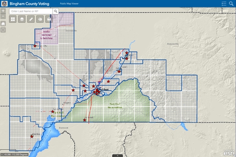
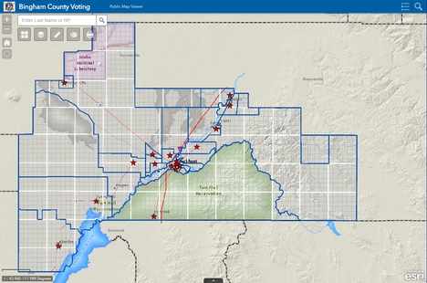
Voting Mapping:
The precint map is designed to assist registered voters when they are attempting to locate where to vote during an election.
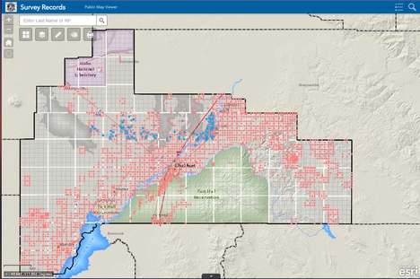
Survey Records:
Designed to assist surveyors and engineers in the area.